







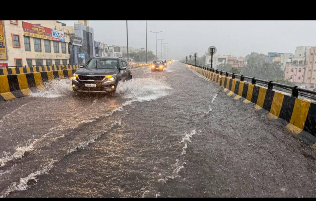
Rain activity across Telangana is expected to ease as the low-pressure area that influenced the state’s weather has moved away, according to the latest forecast.
On September 13, 2026, weather updates indicated that the low-pressure area (LPA) is no longer directly impacting Telangana. Morning rains have largely ended across the state, and no significant widespread rainfall is anticipated in the coming hours.
Current and Near-Term Forecast
Overall trend: Rain activity is retreating. Only isolated rain is possible at a few places through the night.
Thunderstorms: Scattered thunderstorms may occur over parts of central, northern, and southern Telangana, mainly from midnight to early morning.
Districts that may see isolated activity: Medak, Siddipet, Kamareddy, Rajanna-Sircilla, Karimnagar, Jagtial, Nizamabad, Hanamkonda, Warangal, Rangareddy, Yadadri-Bhuvanagiri, Vikarabad, Sangareddy, Nalgonda, Adilabad, and Kumram Bheem Asifabad.
Hyderabad: The city is likely to remain largely dry during the day. Isolated rain or a thunderstorm is possible between midnight and early morning. No significant rainfall is expected.
The earlier spell of rain was linked to a low-pressure system that had formed over the Bay of Bengal region and influenced weather conditions over Telangana, particularly in northern and eastern districts, in the preceding days.
Residents are advised to stay updated with official forecasts from the India Meteorological Department (IMD) Hyderabad Meteorological Centre, as isolated showers and thunderstorms can still bring brief spells of rain, lightning, and gusty winds in some areas.
While the broader rain activity is easing, local variations remain possible. People in the listed districts should remain cautious of slippery roads and reduced visibility if thunderstorms develop overnight.
Further updates will be issued based on the evolving weather pattern.